Before visiting New Zealand, our main knowledge of the Hauraki Gulf was that big body of water where the 2000 and 2003 America’s Cup races were fought. But it actually is a major cruising destination and marine protected area. The 1.2-hectare Hauraki Gulf Marine Park comprises more than 50 islands and includes Great Barrier Island to the east and Coromandel Peninsula to the south.
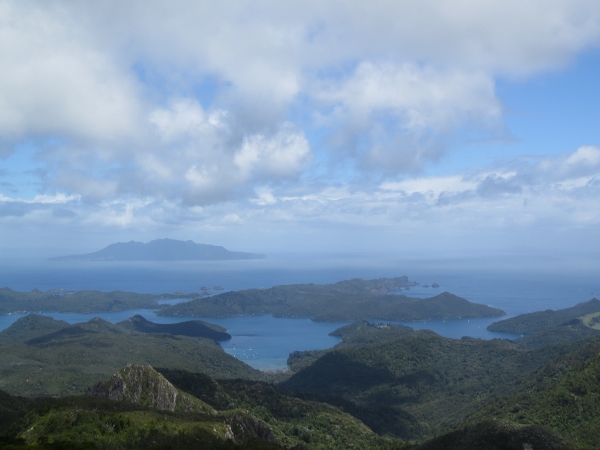
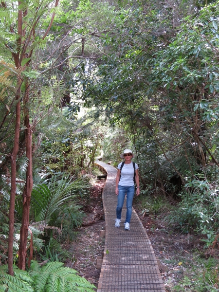
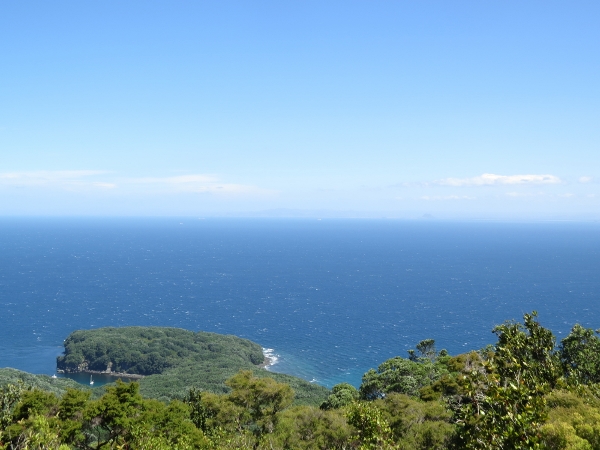
Our first stop in the park was at Great Barrier Island where we spent Christmas. There we hiked an impressively well-maintained, but strenuous, track 2,057 feet to the top of Mt Hobson. Along the way were boardwalks, small footbridges, and several suspension bridges.
 |
.jpg) |
.jpg) |
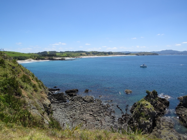
And stairs–lots of stairs. But the view from the summit was worth the effort. The picture at the top of this post shows the view looking west across the Hauraki Gulf to Little Barrier Island.
.jpg) |
.jpg) |
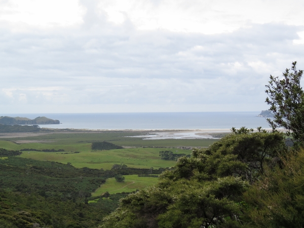
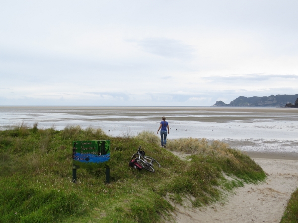
We also rode our bikes over an 800-foot pass to the east side of Great Barrier Island and had a picnic lunch at Whangapoua Estuary.
 |
 |
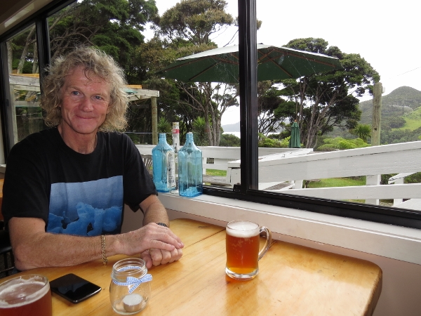
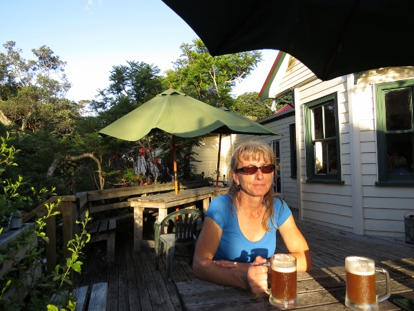
And we enjoyed pints and meals at two pubs in the island: the Boat Club Tavern at Port Fitzroy and the Currach Irish pub at the south end of the island in Tryphena Harbour.
 |
 |
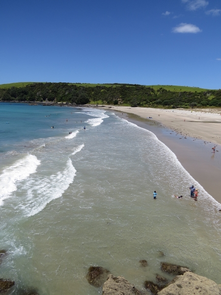
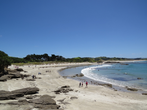
We spent New Year’s Eve at Tawharanui Marine Park, on the gulf’s western edge. The beautiful beaches there were packed with people on that sunny day, and we hiked all over the park enjoying the view.
 |
 |
 |
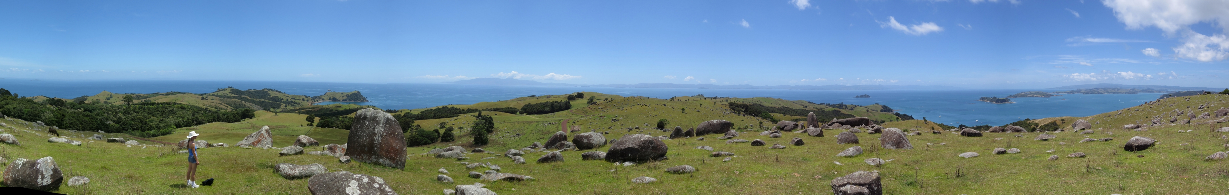
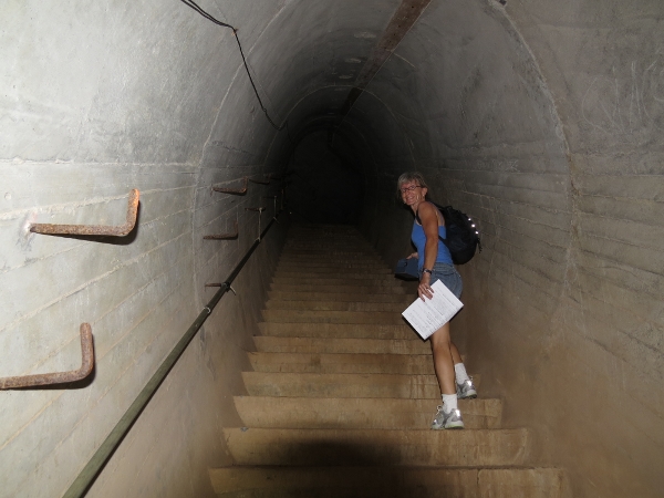
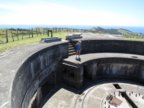
We did another excellent view hike at Waiheke Island to the old battery there. The panorama below (click on the image for larger version) shows the view where we stopped for lunch on the way to the battery. Fort Stony Batter was built in World War II as a counter-bombardment battery system. It mostly is underground, with over a kilometer of tunnels connecting three gun pits.
 |
 |
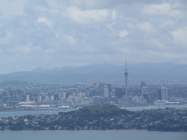
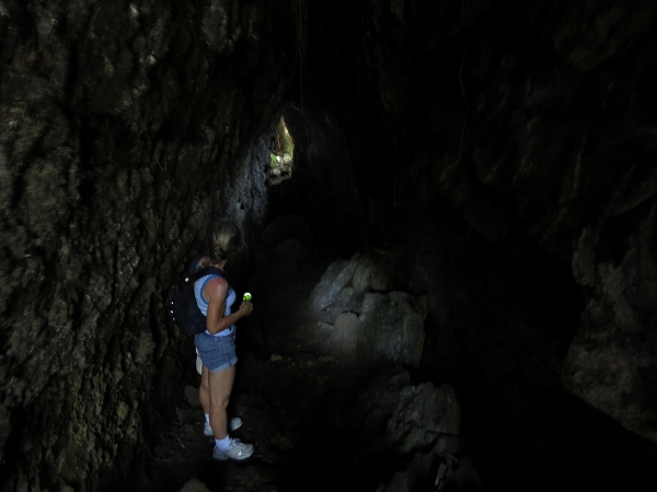
On Rangitoto Island we did a relatively easy climb to the top of island for excellent views to Auckland. And we explored some old lava tube tunnels near the summit.
 |
 |
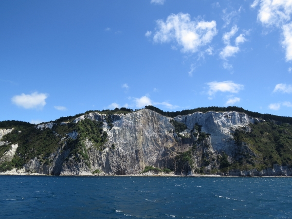
After spending eight nights at Viaduct Harbor in Auckland, we continued to explore the Hauraki Gulf Marine Park, this time at Great Mercury Island in “The Mercs“. People who have seen both say Great Mercury Island’s soaring white cliffs are whiter than those at Dover.
 |
 |
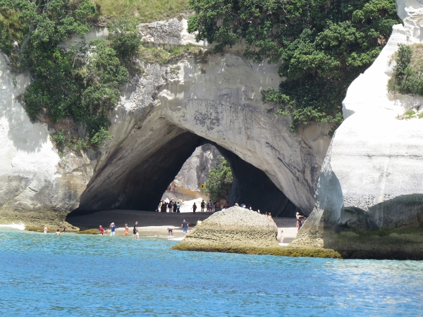
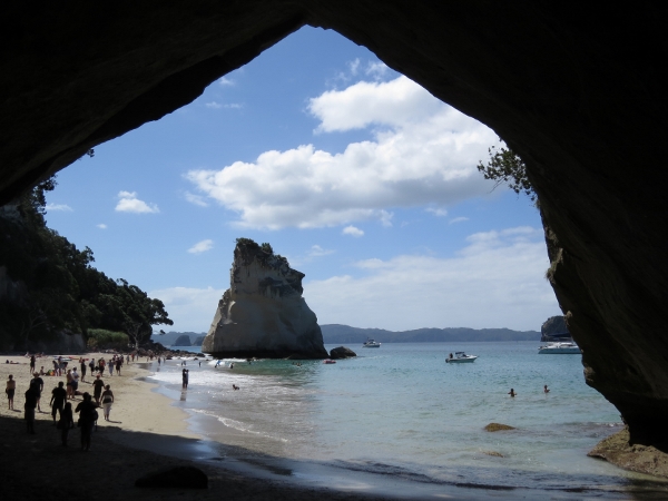
Along the east side of Coromandel Peninsula, we visited Cathedral Cove–a large arch in the shoreline that attracts boatloads of tourists. In the second picture below, Dirona is the leftmost of the three visible boats. The catamaran just visible on the right is SV Sophie of Seattle, owned by James and Jenna Utzschneider. The two James know each other from Microsoft. It seems kind of unlikely that two people who worked together for years and kept their boats in the same marina (Elliott Bay) could end up anchored together off the same rock in New Zealand.
 |
 |
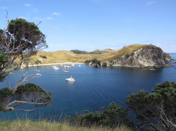
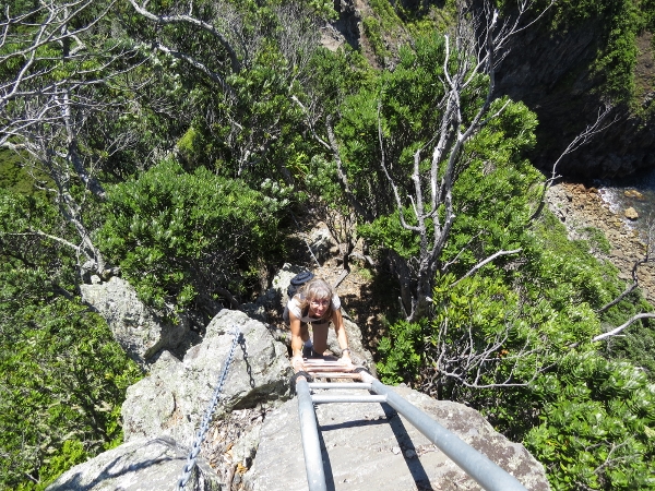
Our last anchorage before running south to Wellingto was at Mayor Island, just outside the marine park. The anchorage was small, but quite appealing, and we had a great hike around the crater rim and to the summit for views across the Bay of Plenty. The way down into the crater, at Devil’s Staircase, included climbing chains and eventually a ladder where it was too steep for chains even.
 |
 |
 |
Click the travel log icon on the left to see these locations and more on a map, with the complete log of our trip through the Hauraki Gulf.
On the map page, clicking on a camera or text icon will display a picture and/or log entry for that location, and clicking on the smaller icons along the route will display latitude, longitude and other navigation data for that location. And a live map of our current route and most recent log entries always is available at http://www.mvdirona.com/maps/LocationCurrent.html. |
If your comment doesn't show up right away, send us email and we'll dredge it out of the spam filter.